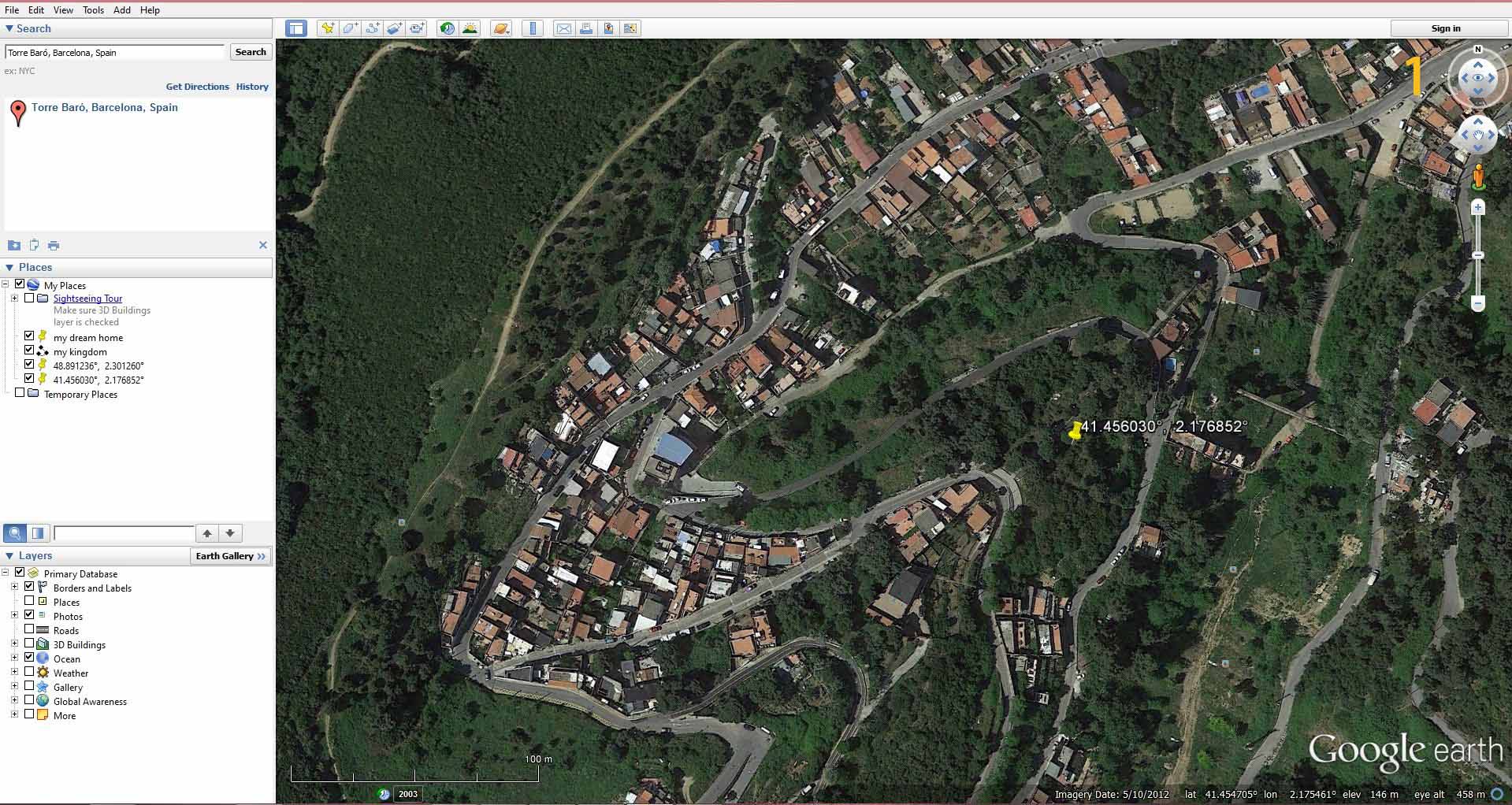
a)Select the site of Torre Baro from google earth and save the image, keeping the pin and scale on the lower left bottom visible.
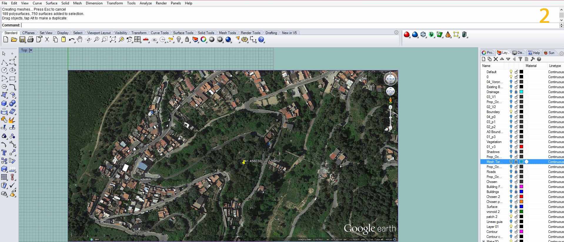
a) Bring the image into rhino by using the command picture frame and place the image in rhino.

a)Mark the point on the picture frame.
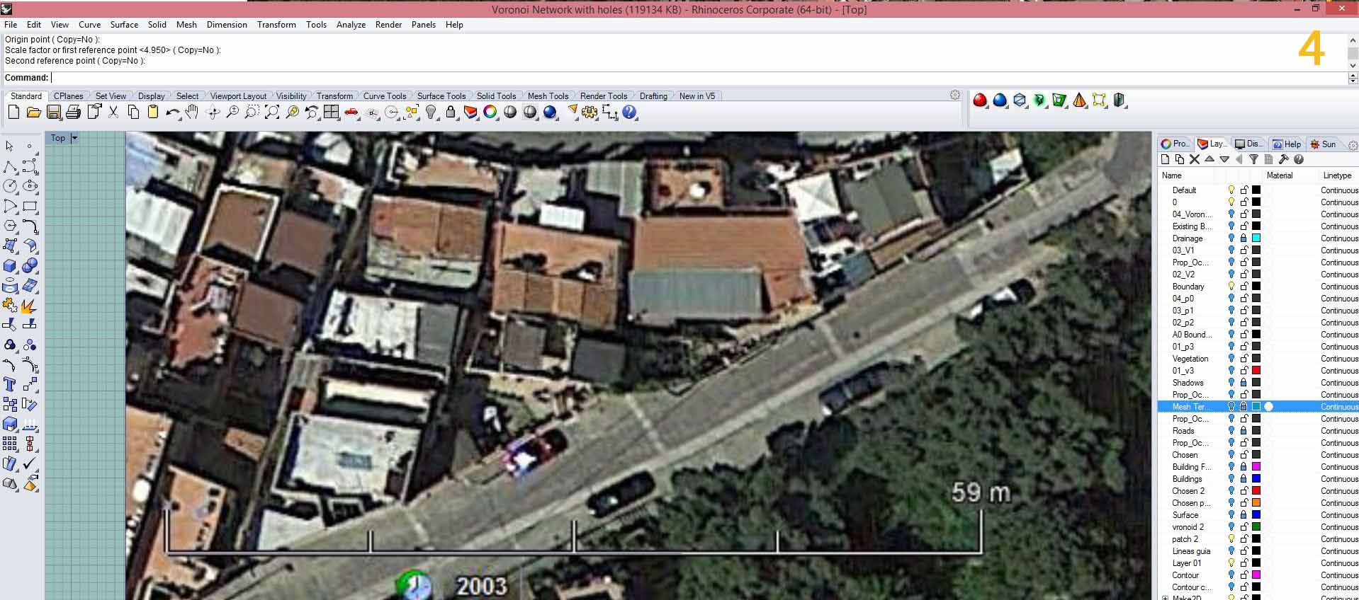
a) Draw a line over the scale, draw another line for 59m from the same start point. Scale with reference to the line.
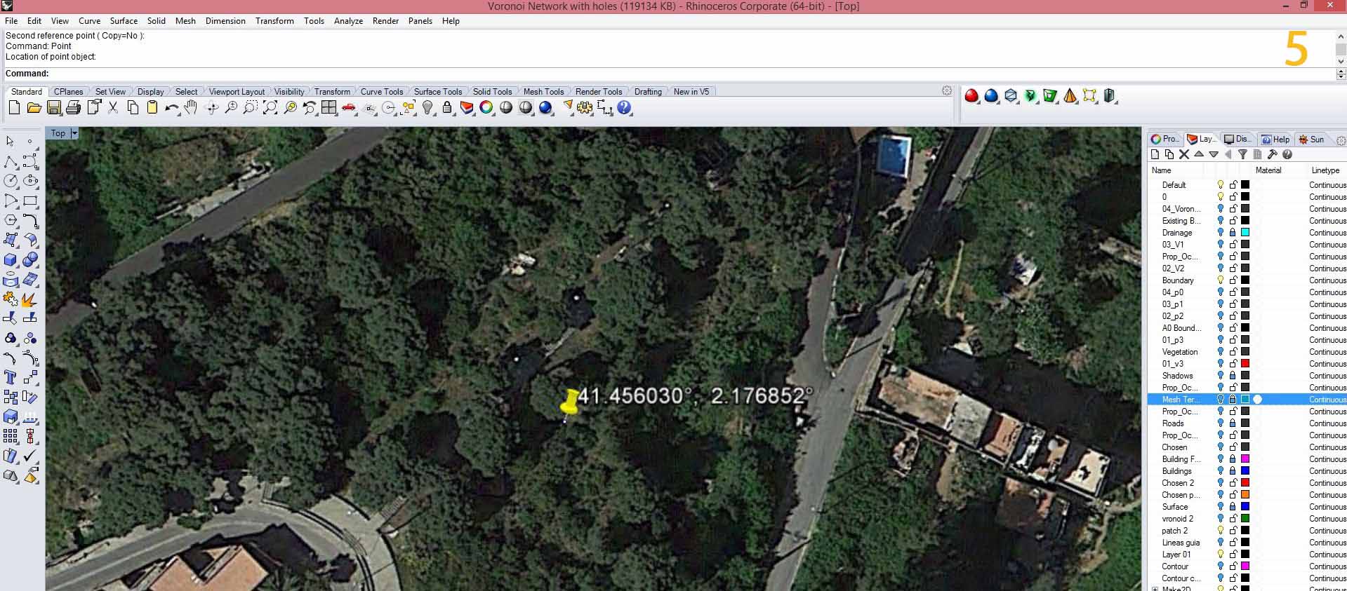
a) Use the command Earth Anchor Point to mark the latitude and longitude of the point and mark the point.
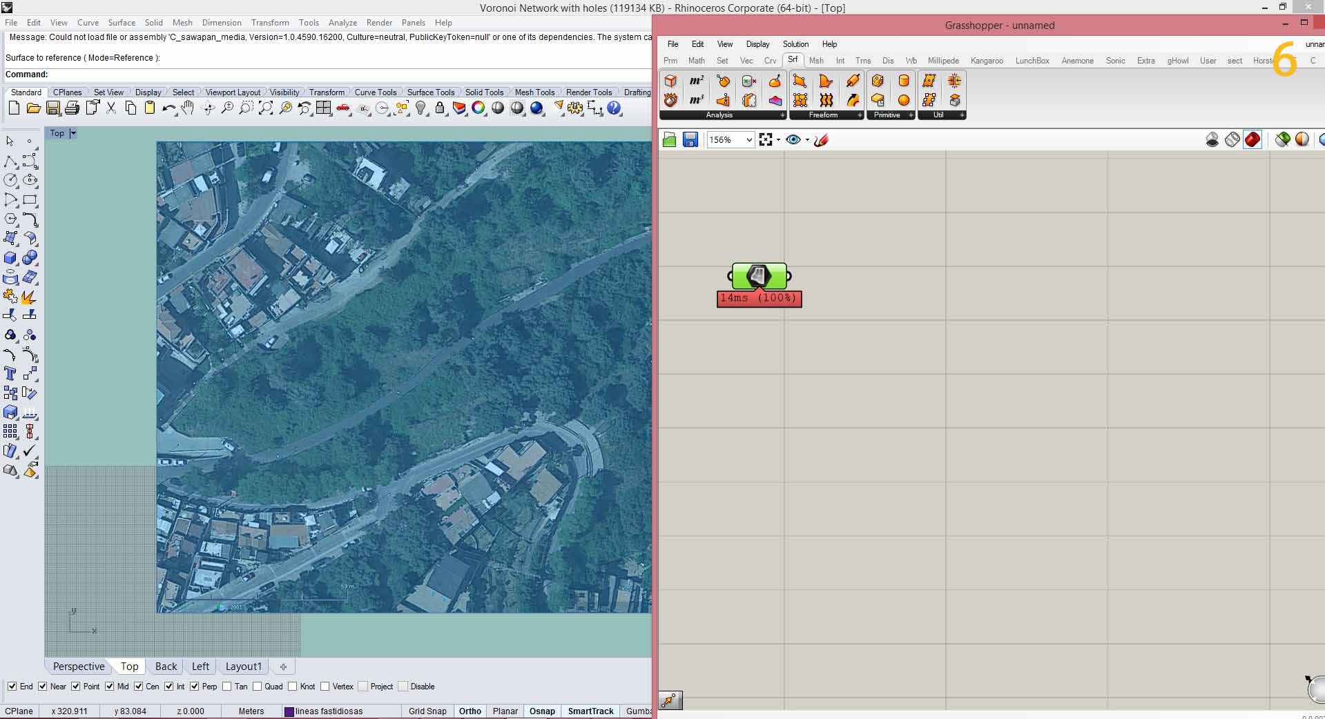
a) Put the tab SURFACE on grasshopper and Right click on the SURFACE tab and click SET ONE SURFACE, go to rhino and select the surface.
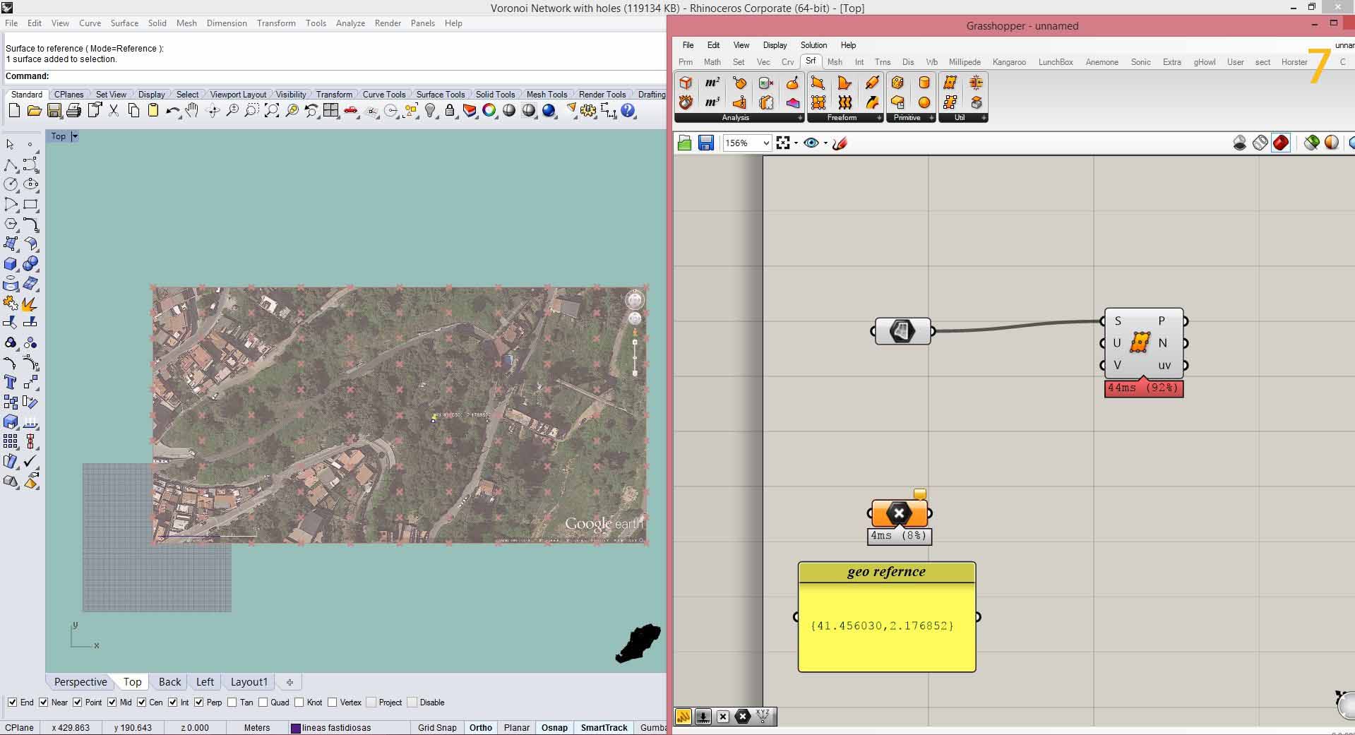
a) Now in grasshopper, put POINT and a PANEL and right click the panel and name it geo reference.
b) Put the tab DIVIDE SURFACE and connect it to the SURFACE tab.

a) Add a value to U and V components of DIVIDE SURFACE by adding a PANEL and inserting a value into it.
b) Go to GHowl and add the command XYZ TO GEO and connect XYZ to the POINT tab, GEO to the PANEL and P of XYZ TO GEO to DIVIDE SURFACE.
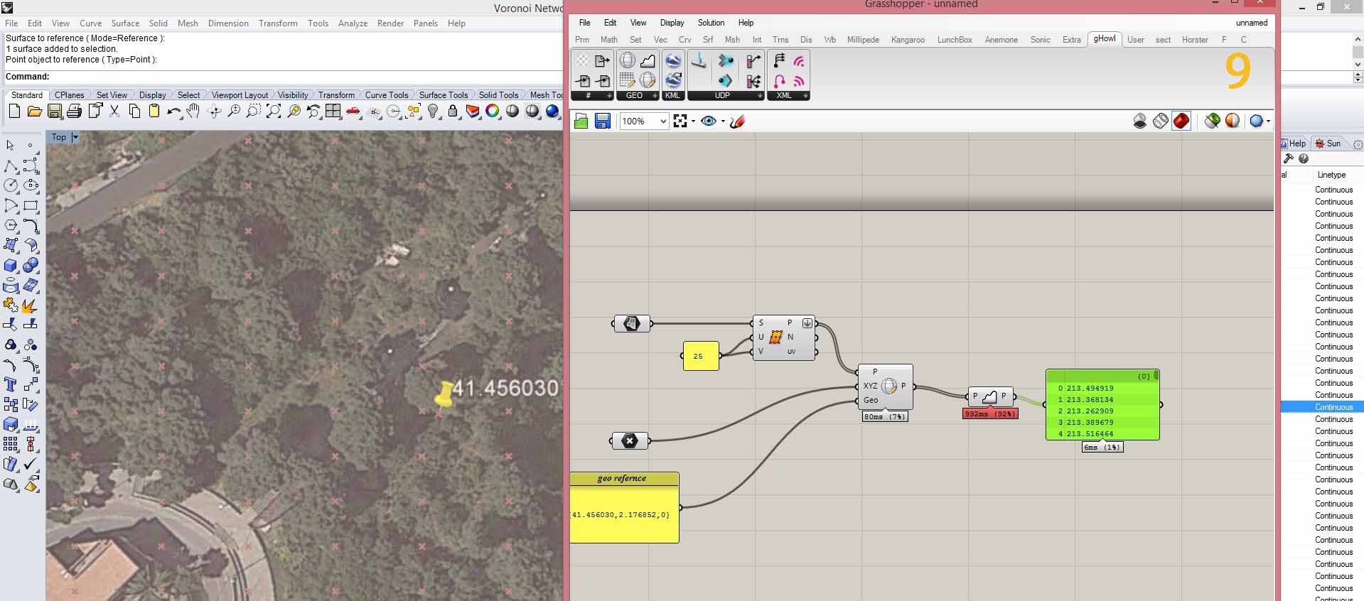
a) Put the GET ELEVATION tab on grasshopper.
b) Connect GET ELEVATION to XYZ TO GEO and add a PANEL to GET ELEVATION.
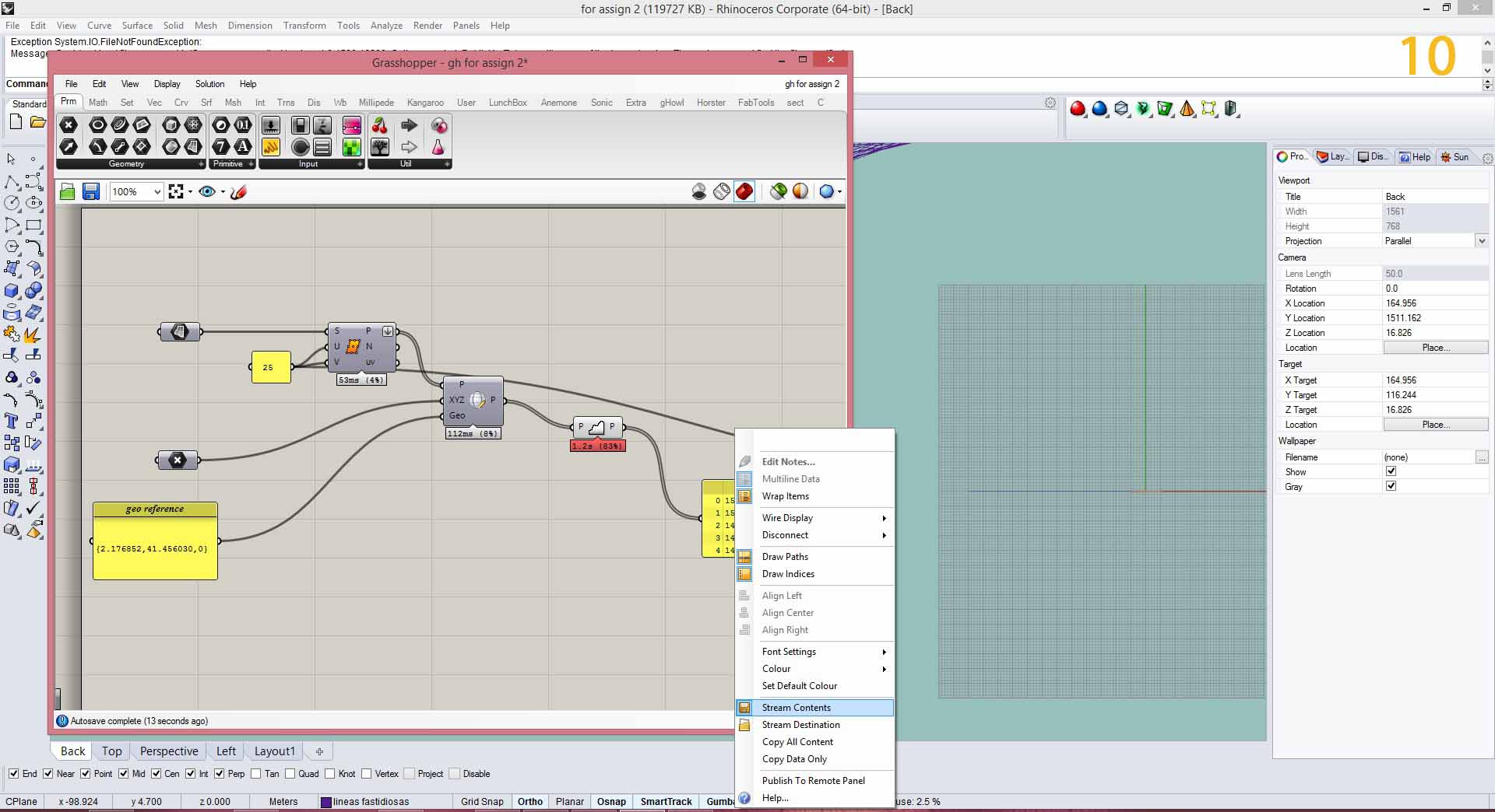
a) Right click on the PANEL and click on STREAM CONTENTS and save the file as a .*txt file.
a) Add a READ FILE tab
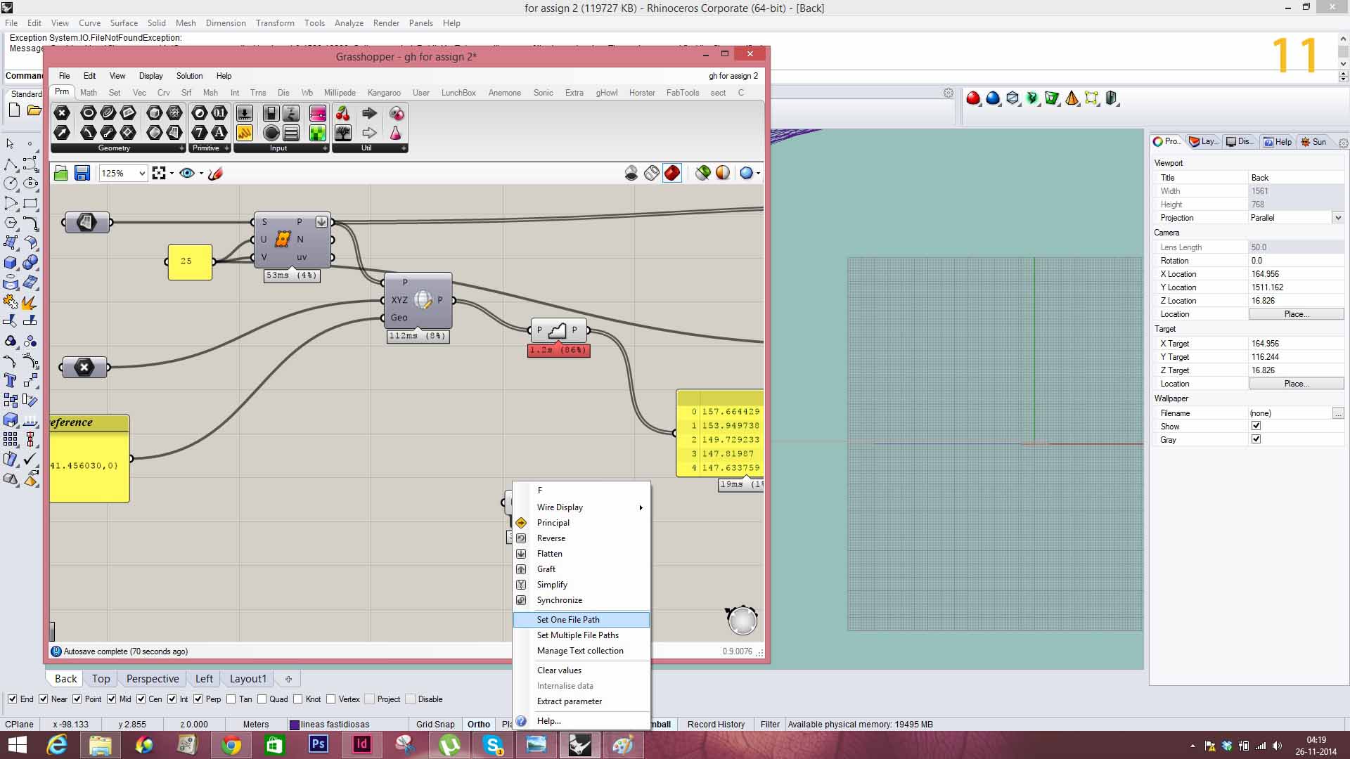
b) Right click on the READ FILE tab and select SET ONE FILE PATH and choose the .*txt file saved before.

a) Add a UNIT Z tab.
b) Connect the UNIT Z tab to the READ FILE.
c) Add a MOVE tab and connect geometry to points and motion(T) to UNIT Z.
d) Add the DELAUNAY MESH .
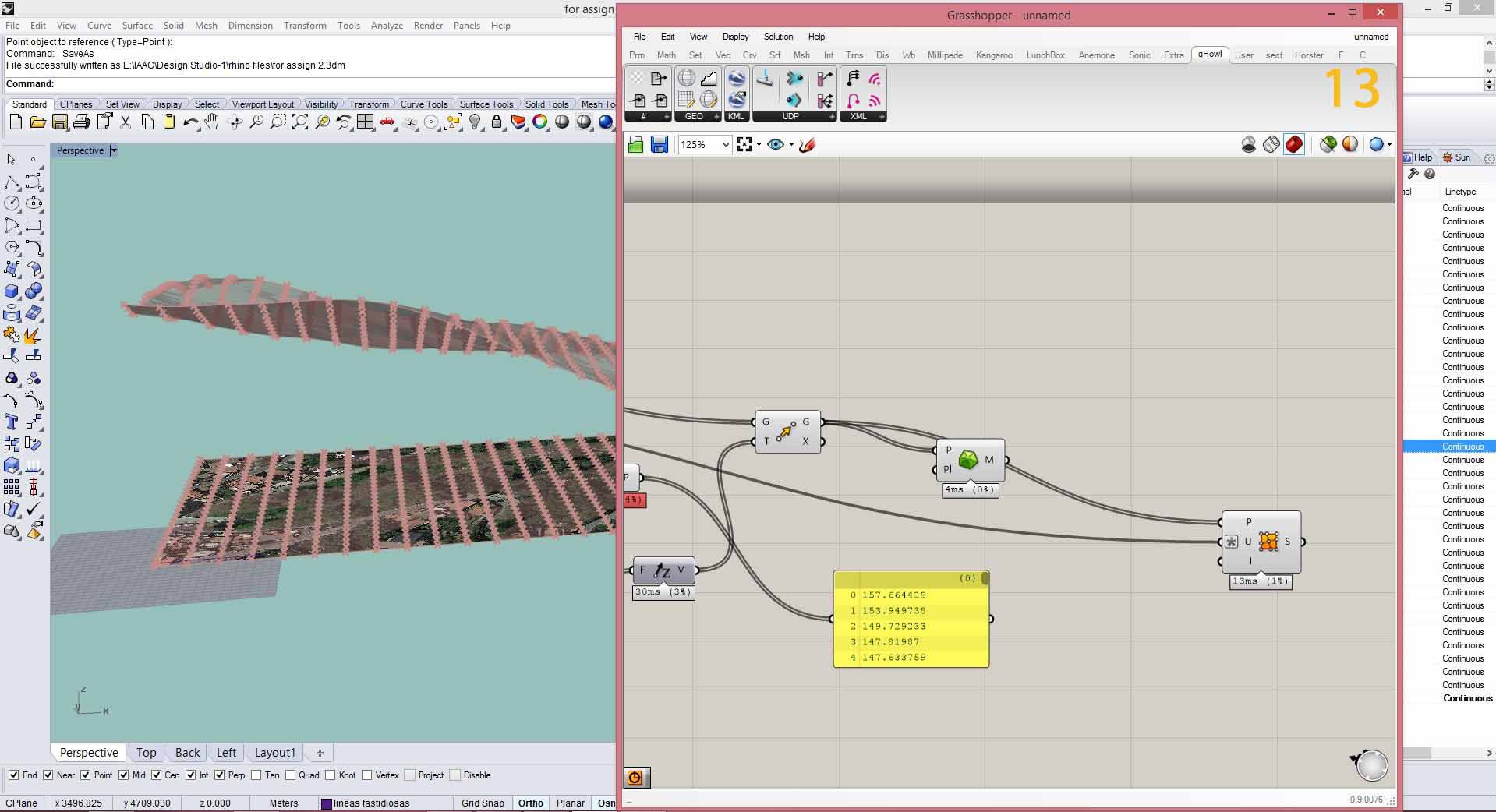
a) In the DELAUNAY’S MESH connect the points to the geometry(G) of MOVE and add the tab SURFACE FROM MESH, connect the count(U) to the panel added before. The terrain surface is created.

a) The final model with site on the google earth terrain looks like this. The height had to be corrected in rhino file to place it exactly on the google earth terrain.