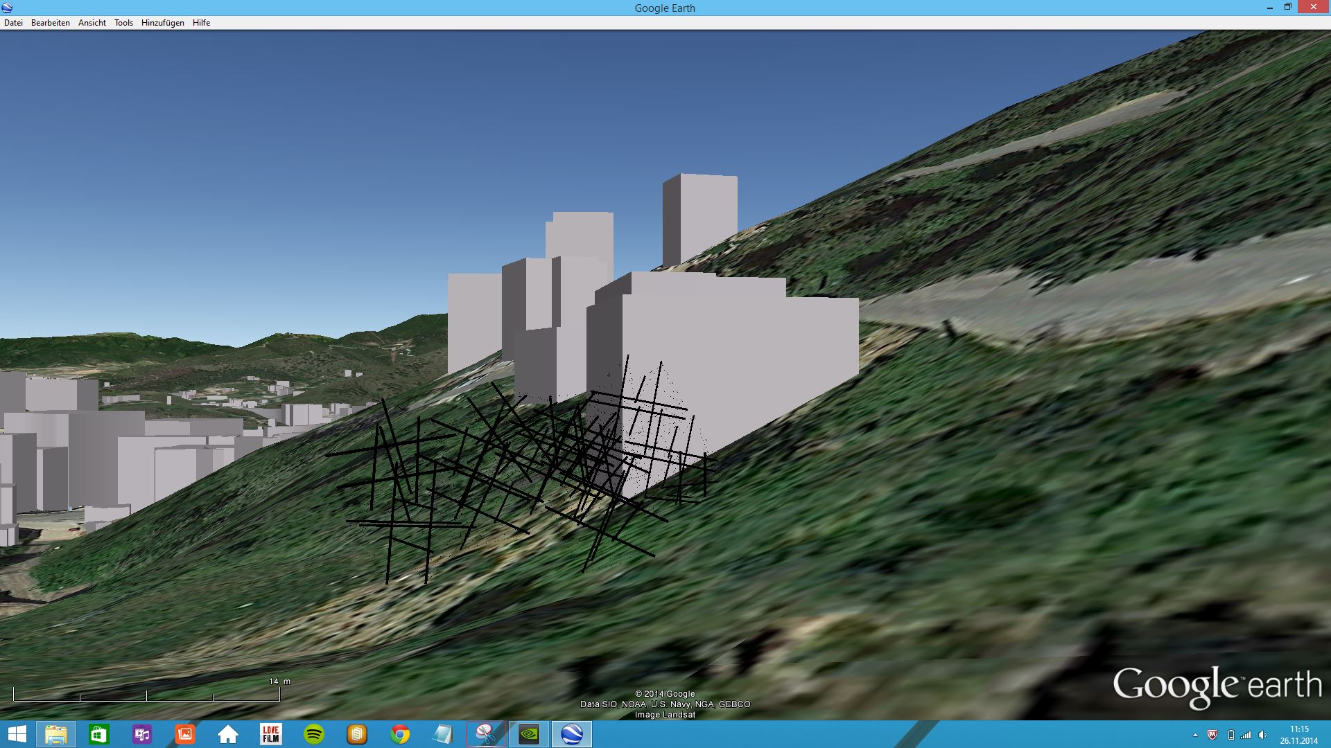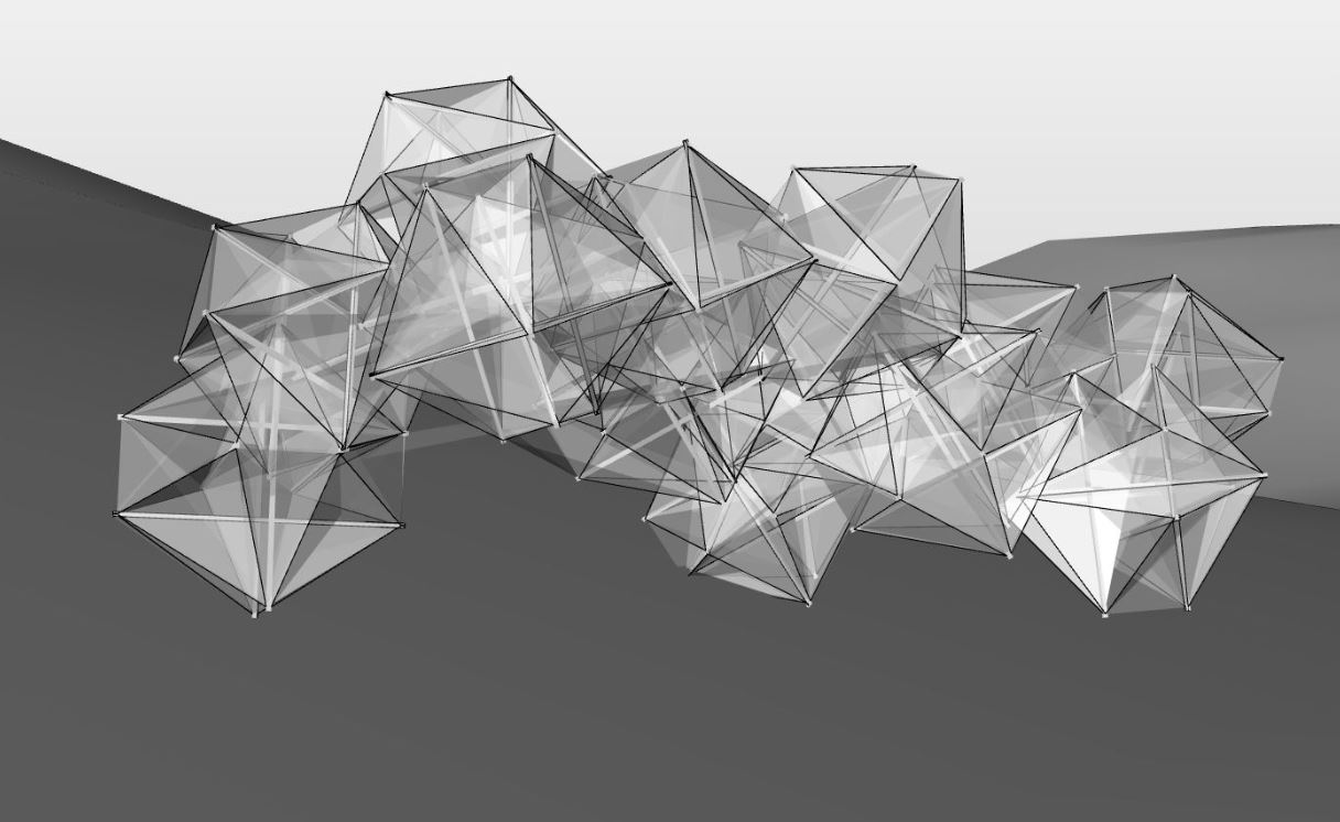
importing the 3d design into google earth
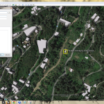

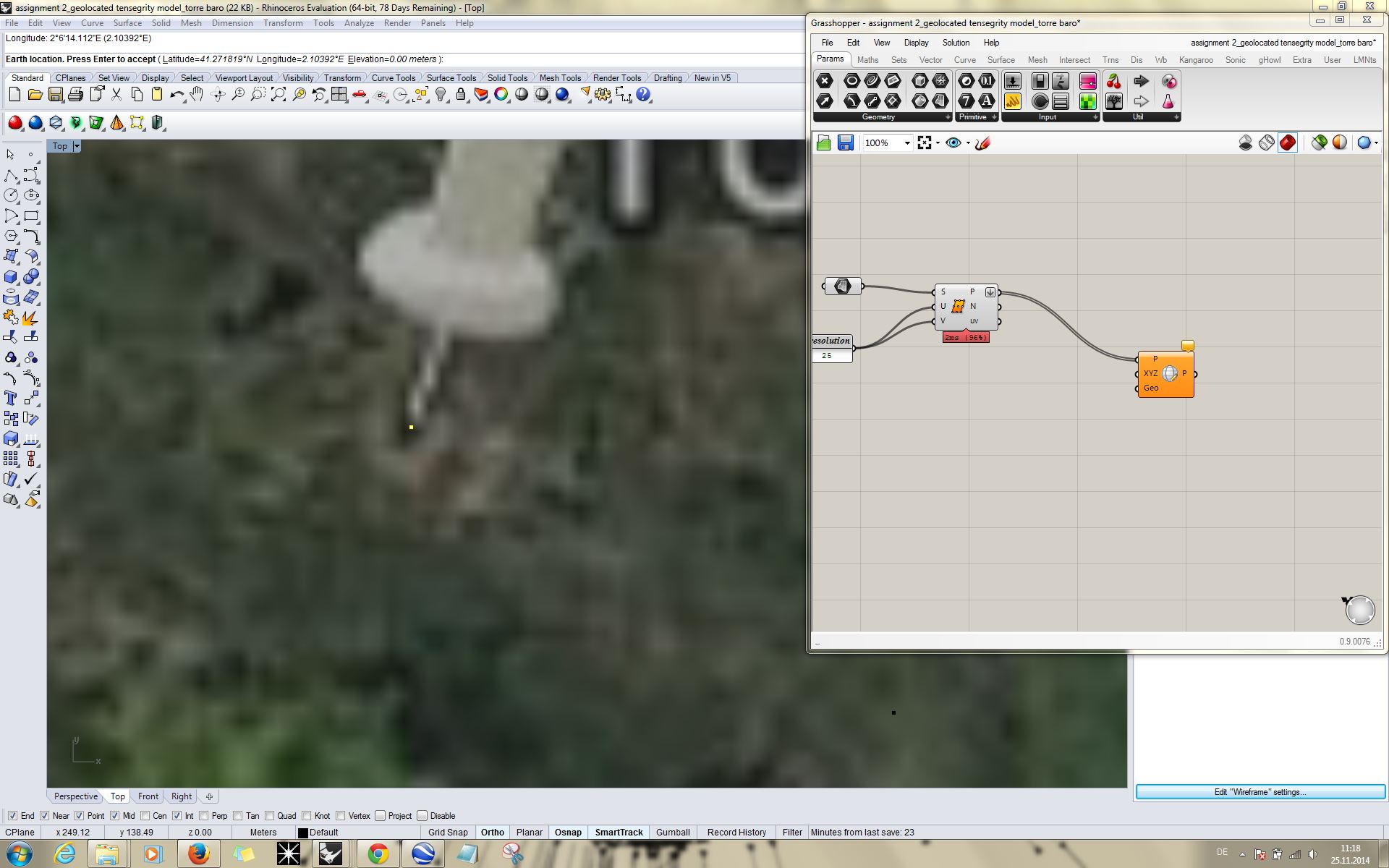

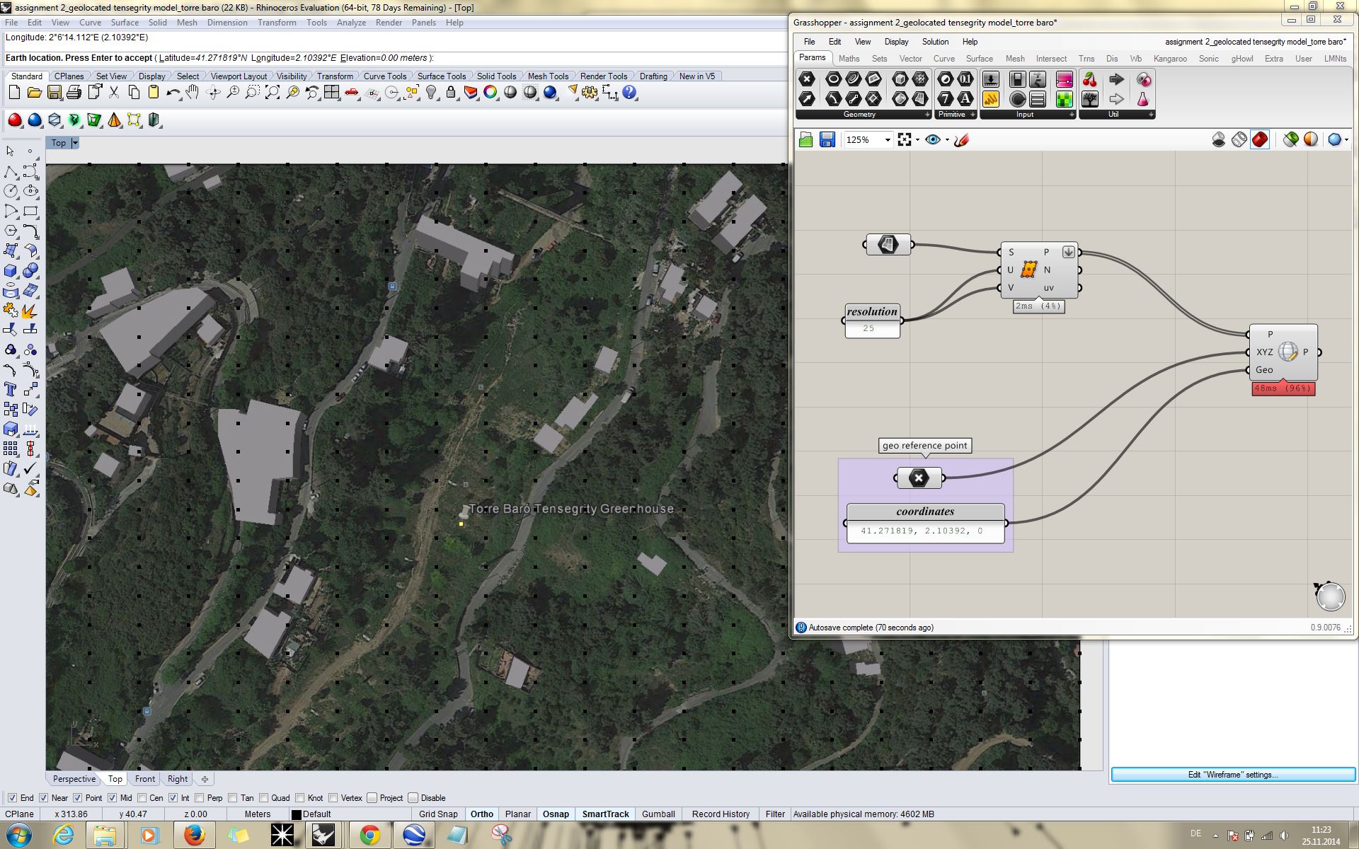
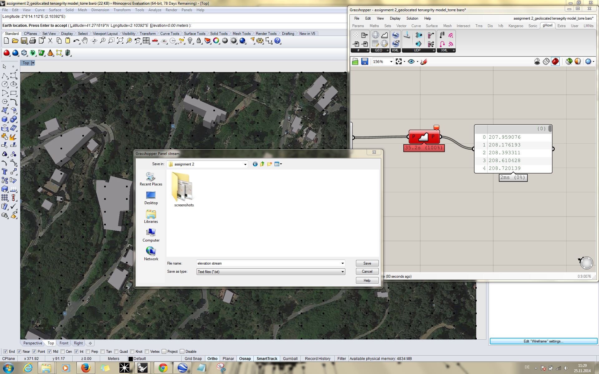
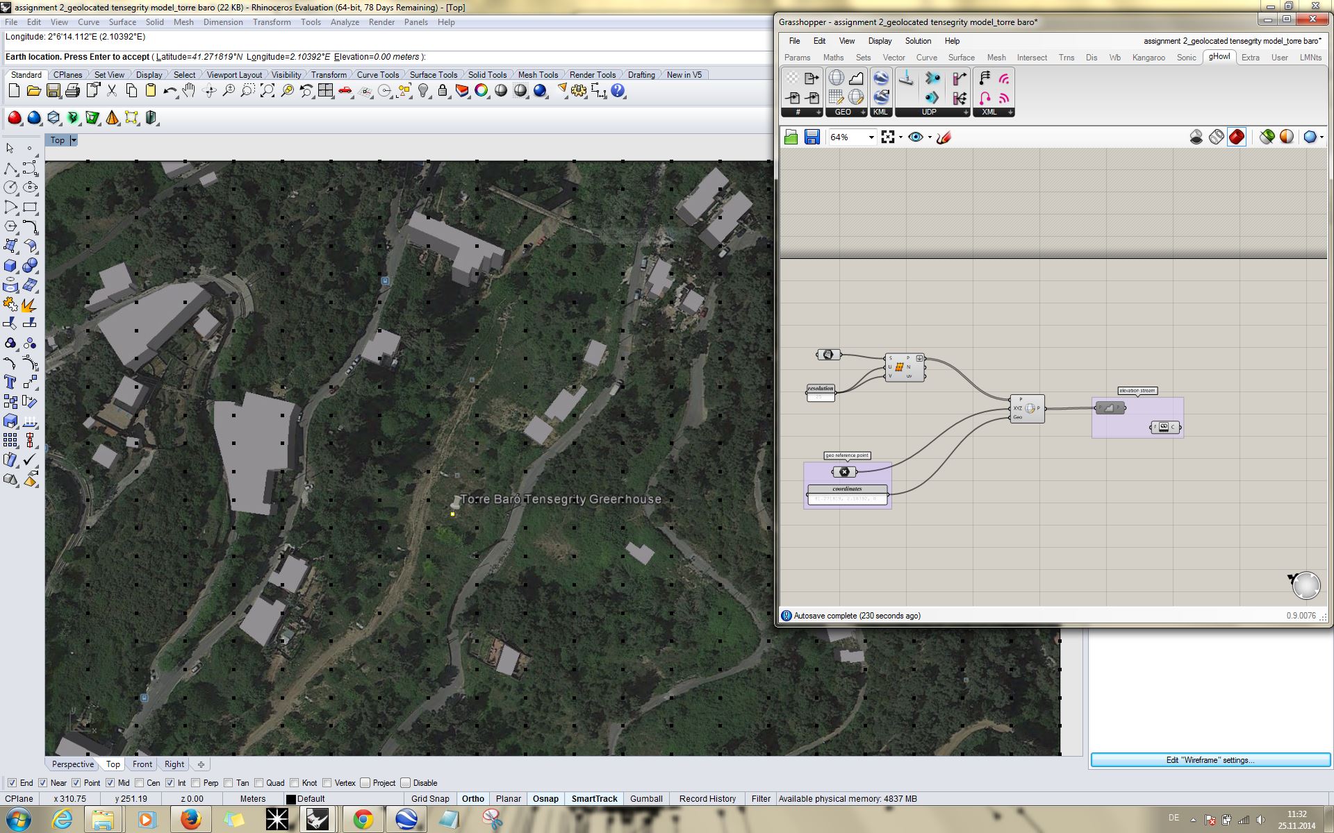
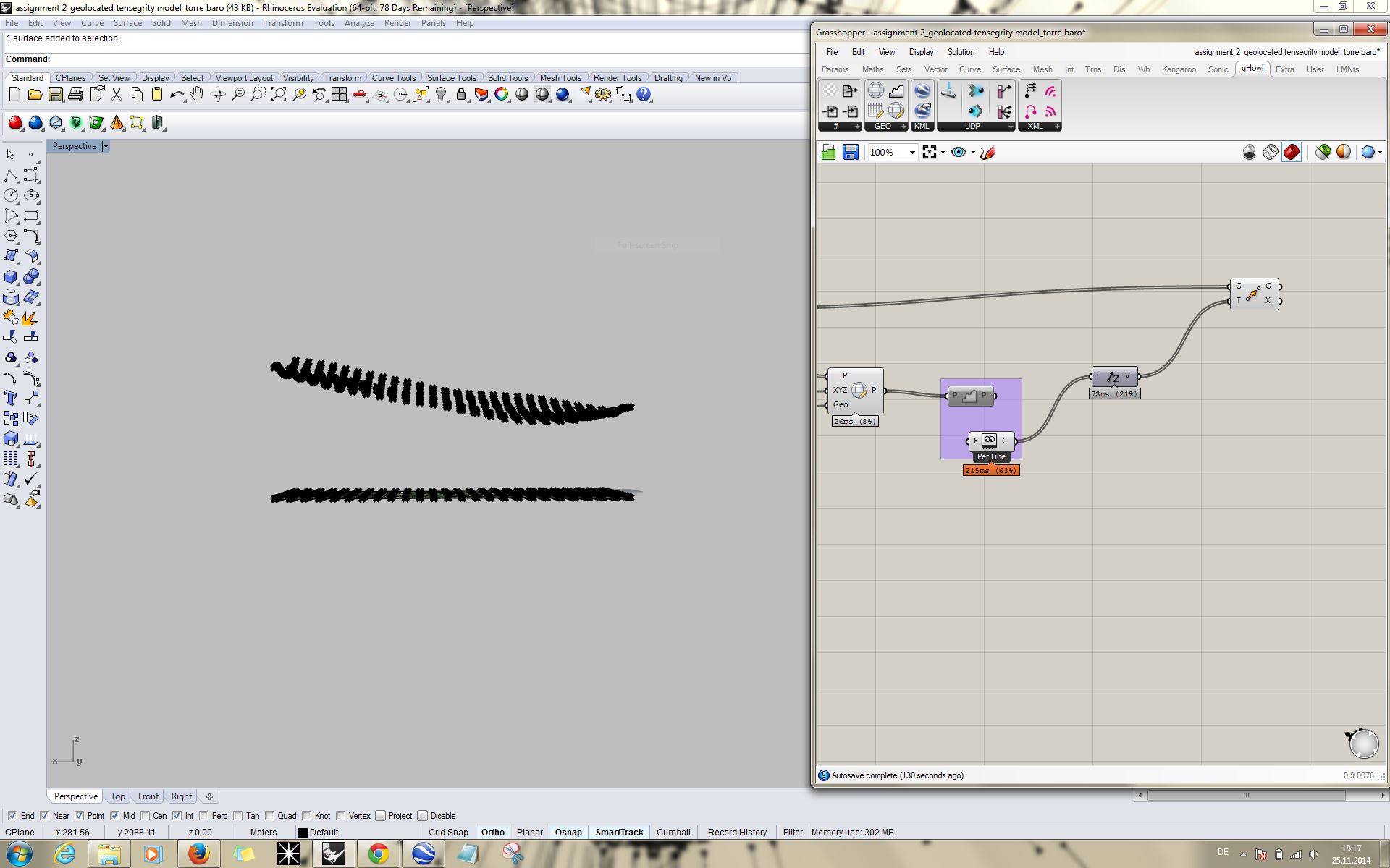
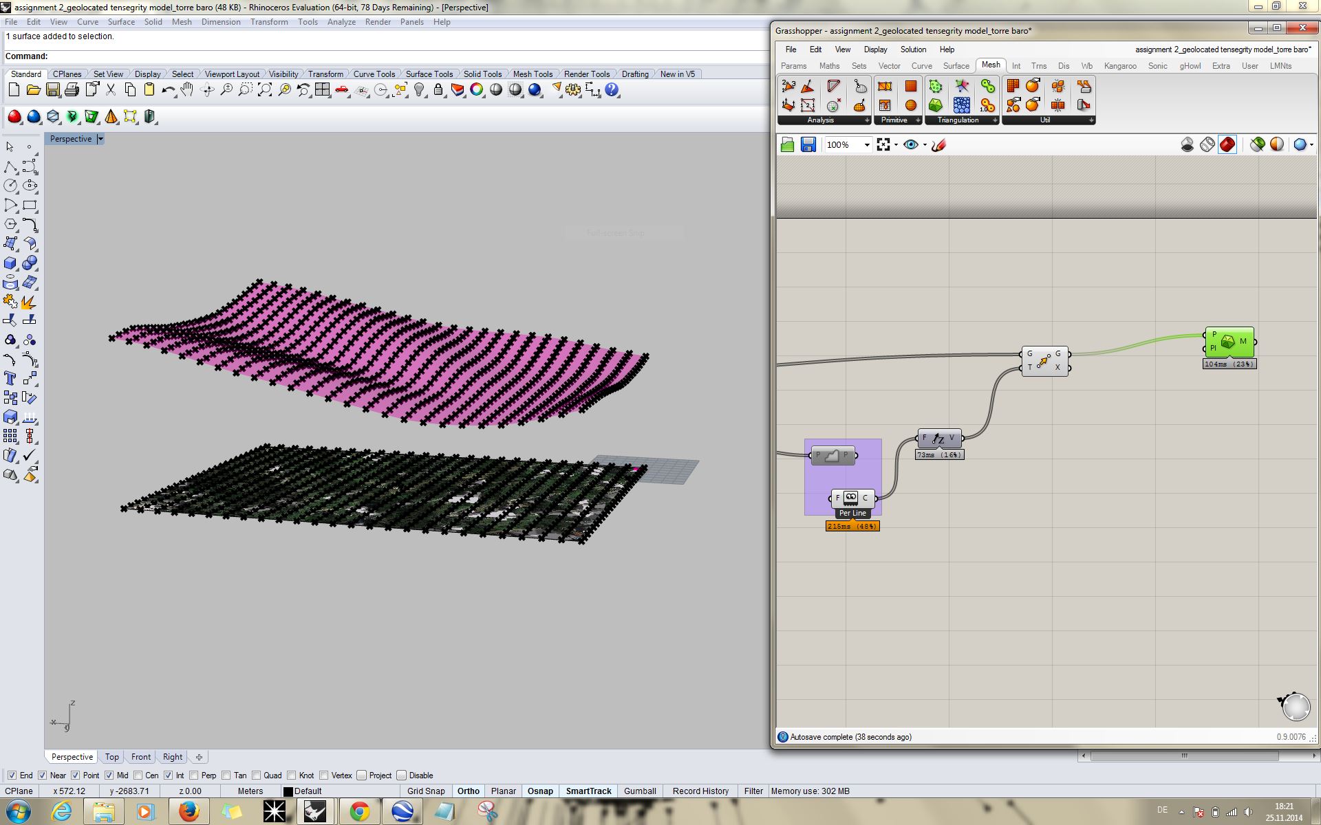
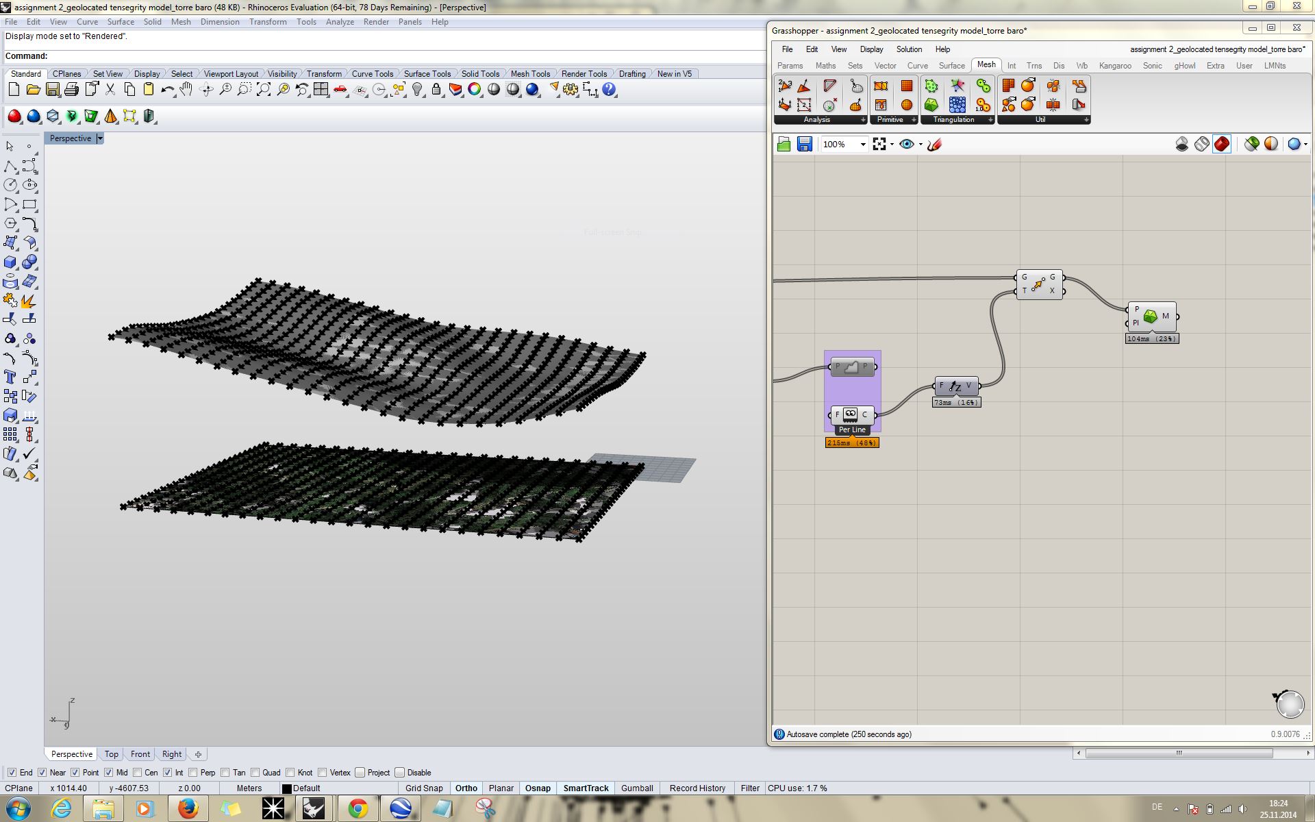
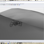
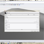
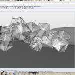
first step is to find the actual geolocation in google earth. in that particular case it is at torre baro in barcelona. after clearing the view (set north etc) simply save it as a jpg image. import the image with pictureframe command into rhino. scale the map correctly. set an earthanchorpoint on your pin and define the geolocation. open grasshopper and define the picture to a surface. divide it into a grid of points. use the ghowl plugin to connect the surfacepopints to geodata. connect it to a panel and stream the contents. delete the panel again and enable the geodatatool to disconnect from google. use vector z to move the points to their actual height. create a mesh from the points and bake it to use it in rhino. reset the earthanchorpoint on the acutal height surface and import the design model. apply materials and export it together with the anchorpoint as an .kmz file. open it in google earth and it will show the model on the actual site. i tried to import it first with the surfaces but the data failed to load because it was too big. therefore i just imported the structure.