Stalking
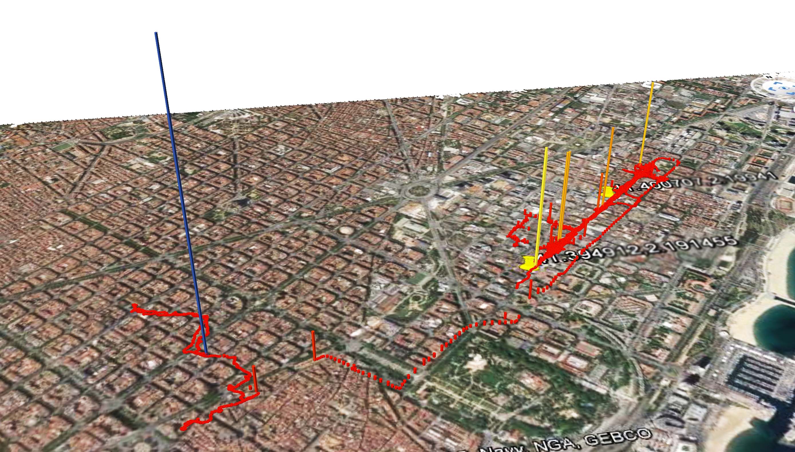
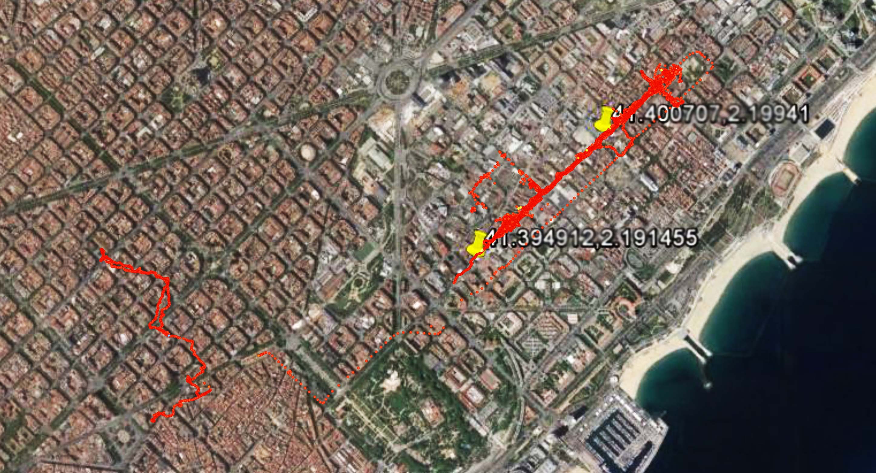
The track shown reveals the footprint of an average student during a few days of normal school period.
Data Mining
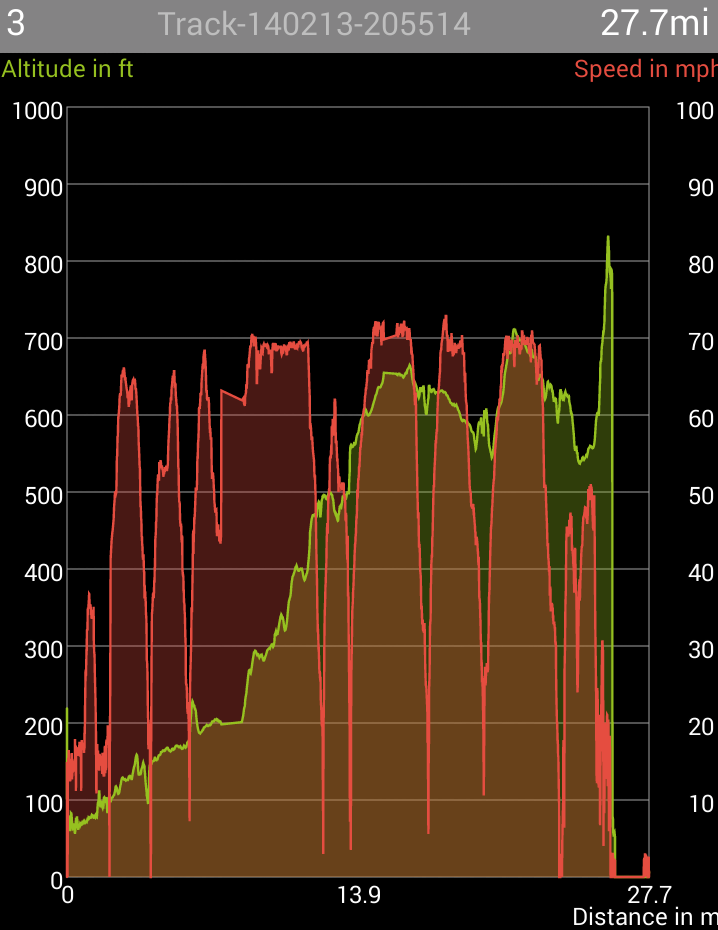
A GPS tracking smartphone application (GPS kit free) was used to record the data of the footprint in terms of latitude, longitude, altitude, and speed.
Data Visualization
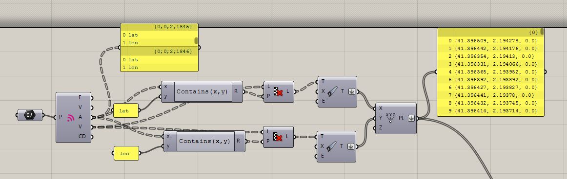
Using the data harvested from the application in GPX file type, the data has been filtered to just get the information of the longitude and latitude:
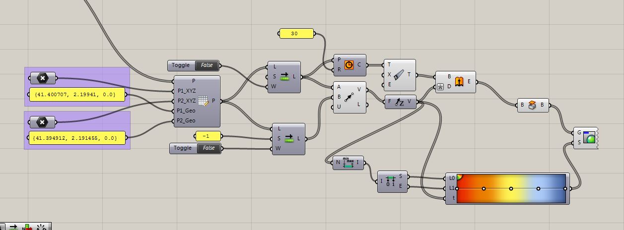
With a map captured from google earth, it is then pinned with actual coordinates in order to locate each coordinate of the track. With the correct coordinates the track has been extruded and coloured in order to be visualized:
Plan view of track:
Special thanks to Juhi Patel