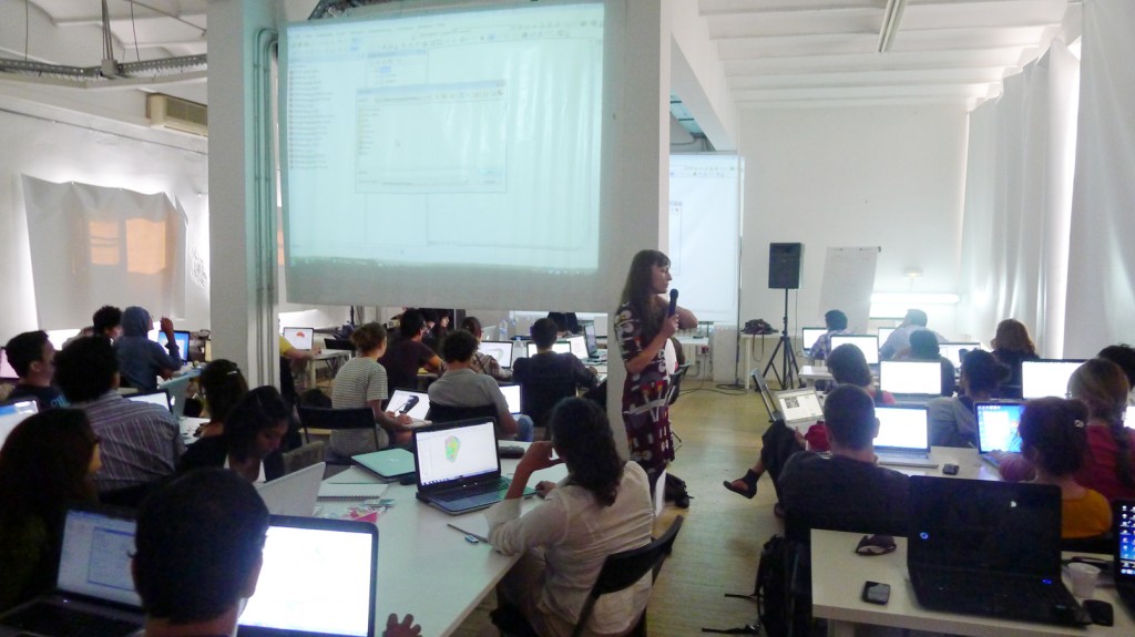
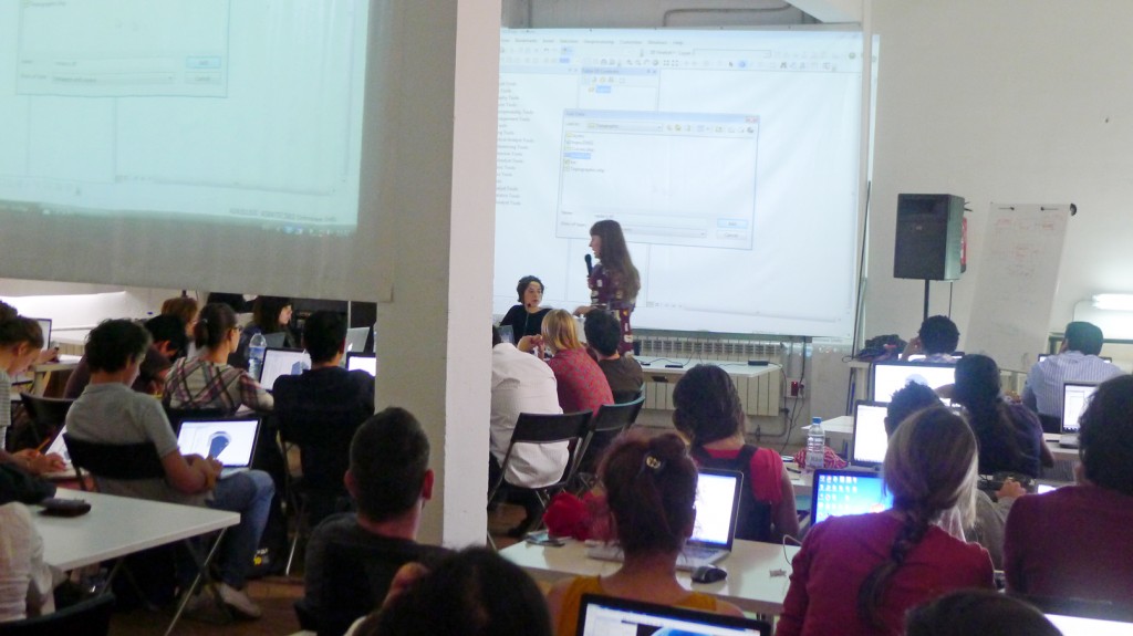
The GIS ( Geographic Information System) class is part of the Many Slow Cities into a Smart City Research Studio of the first term. GIS is the merging of cartography, statistical analysis, and database technology and is tutored by Ioanna Spanou (Landscape Architect) and Margerita Neri (Landscape Architect). Through the GIS analysis tool, students are able to insert the information and data collected in each case study and generate diagnostic complex maps and new relations by overlapping and crossing information.


